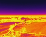
Drone Thermal Imaging Services in Wiltshire
Covering Bath, Bristol, Swindon, Cirencester, Chippenham
Ensuring your home is well insulated and not losing heat is essential,
not only monetarily but for our planet.
There’s never been a better time to check your home is well
insulated, and that you're
not losing heat unintentionally and unknowingly.
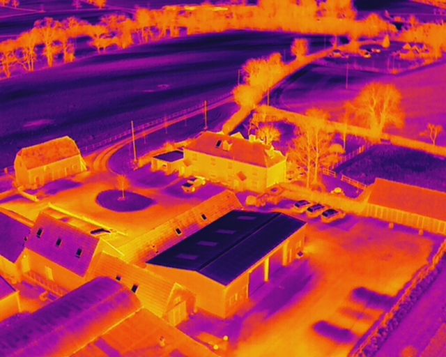
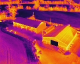
Aerial thermographic inspections can pinpoint areas of underperforming insulation very quickly and unobtrusively
without the need for scaffolding, ladders, or time consuming and invasive building inspections.
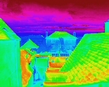
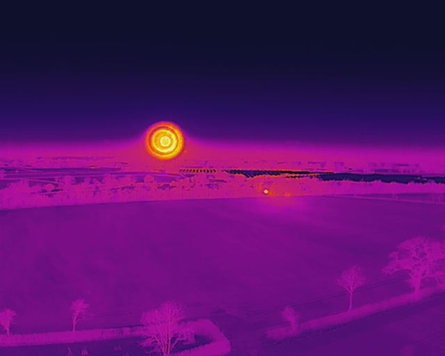
Forward looking infra-red cameras (FLIR) can detect issues that are not visible to the naked eye.
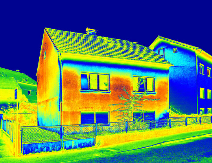
A thermal imaging survey on your building can identify any energy loss and exactly where it is.
And now for the science bit . . . .
‘Infra-red waves, or infrared light, are part of the electromagnetic spectrum. People encounter Infrared waves every day; the human eye cannot see it, but humans can detect it as heat.
A remote control uses light waves just beyond the visible spectrum of light—infrared light waves—to change channels on your TV. This region of the spectrum is divided into near-, mid-, and far-infrared. The region from 8 to 15 microns (µm) is referred to by Earth scientists as thermal infrared since these wavelengths are best for studying the longwave thermal energy radiating from our planet.’ Nasa Science
Heat sensed by infra-red cameras can be measured very accurately. A FLIR camera can detect very tiny differences in heat as small as
0.01degrees C and show them as shades of different colours depending on the chosen palette.
Problem areas that can be detected
- Heat loss
- Cold bridging
- Defective insulation
- Hidden moisture
- Electrical hotspots
How it works
We do all the legal CAA risk assessments and plan
everything for you.
We fly a UAV drone over your home at a set time and date (registered with the police and all logged for the CAA by Red Drone Ltd) taking infra-red data (and photos at the same time) from specific angles and heights in a planned pattern to capture all potential problem areas.
We then compile the photos and can offer you a basic report, where you can see the thermographic photos in various colour palette patterns and cross reference them to actual visual photos, or we can offer you a more advanced analysis report of the
infra-red data.
We can discuss the best option for you.
