Aerial Photography and Video Services

Covering Bath, Bristol, Swindon, Cirencester, Chippenham

Mansions to Maisonettes

Bring to life a property regardless of the size of the building or grounds. 
Drone photography can show a property and surroundings from a unique angle 
showing positive aspects that are unseen from the ground. 
Uncover the sheer scale, dimension and perspective of your gardens; showcase surrounding countryside or city-scapes, even the symmetry of landscaped lawns, ponds, hedges that are not always appreciated from the ground. 

Property in Andover 

Brief: Show corner position, size of garden and surrounding leafy suburb. Short dynamic video with music   

Property in Cotswolds  

Brief: Show the beautiful grounds and pool, tennis court and stunning countryside with proximity to nearest town  

Property in Wiltshire  

Brief: Highlight the enviable location on the edge of town and the sheer grandeur of this wonderful property 

Country house with aerial shots

Here’s an example of how elevated birds-eye view photos from different angles in the sky can present
properties in a uniquely engaging way that’s not possible from the ground. The beautiful trees and surrounding
countryside as well as the lawns, patio and flowerbeds all become part of the same captivating picture. 

Country mansion aerial views

Aerial view photos are also an excellent tool for surveyors and solicitors to plot out or re enforce boundary disputes of help with planning permission reports. 

Aerial view showing property boundaries Drone photo by Red Drone ltd In Wiltshire
Drone shot of rural farm Drone photo by Red Drone Ltd In Wiltshire

Some features are hard or even impossible to photograph from the ground. This is where professional drones
and some expert flying skills can get you those shots you never even dreamt of.

How it works 

We do all the legal CAA risk assessments and
plan everything for you.
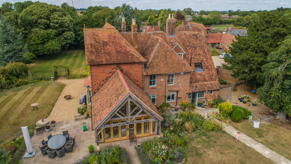
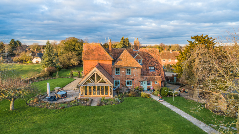
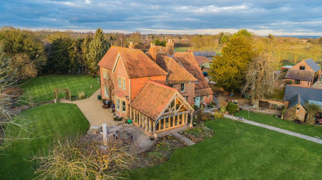
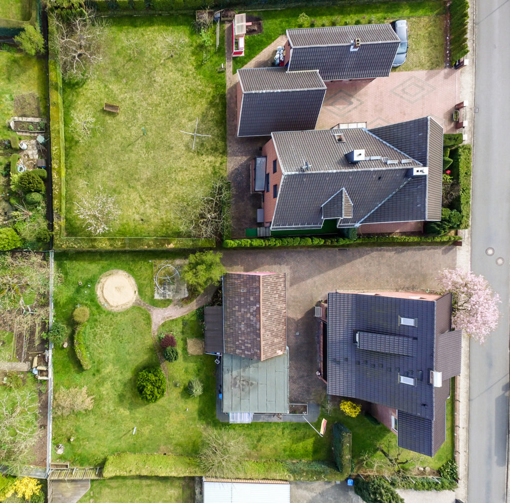
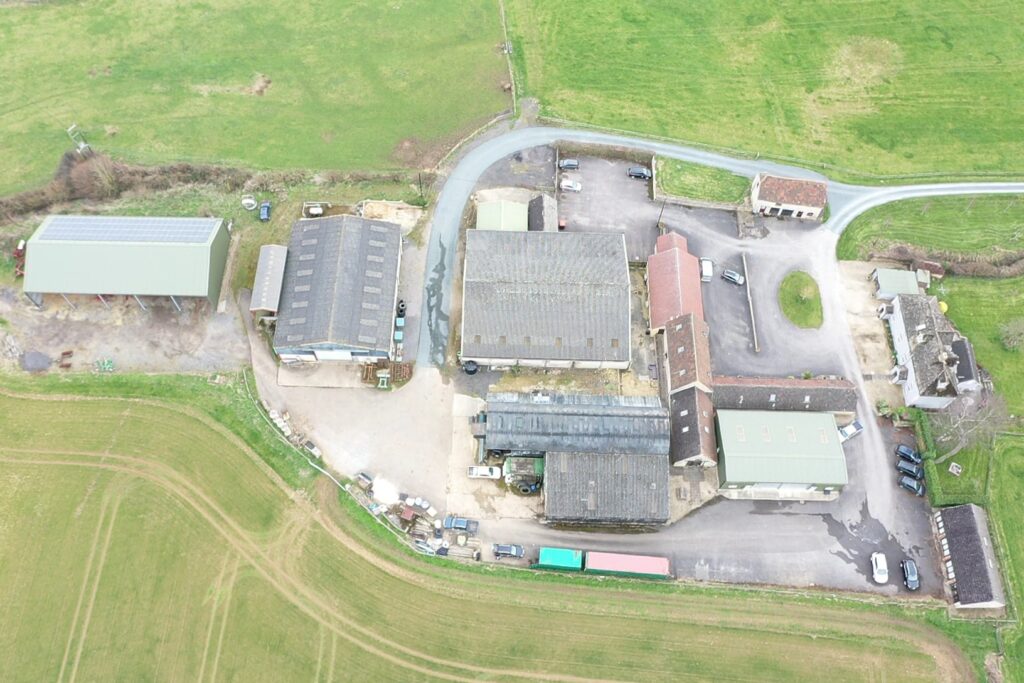
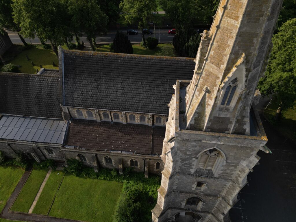
We fly a UAV drone over your property /land at a set time and date, which we register with the police. We create flight log records for the CAA at the same time as taking strategic photos and videos, at specific angles and heights in a planned pattern to capture all potential vantage points.
We then compile the photos and can offer you a basic report, where you receive the raw photos, or we can offer you a more advanced service with post editing. 
We can discuss the best option for you.